Badlands of Castilléjar and Galera

carcavas guardal 1 - Badlands of Castilléjar and Galera - Geoparque de Granada
Sites of Geological Interest

Badlands of Castilléjar and Galera

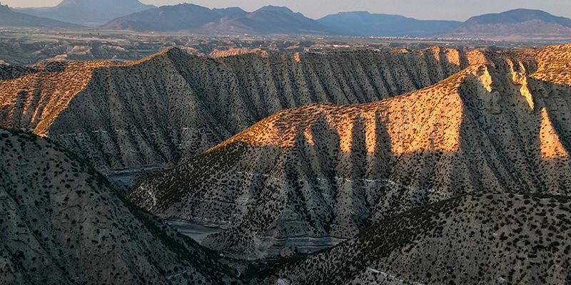
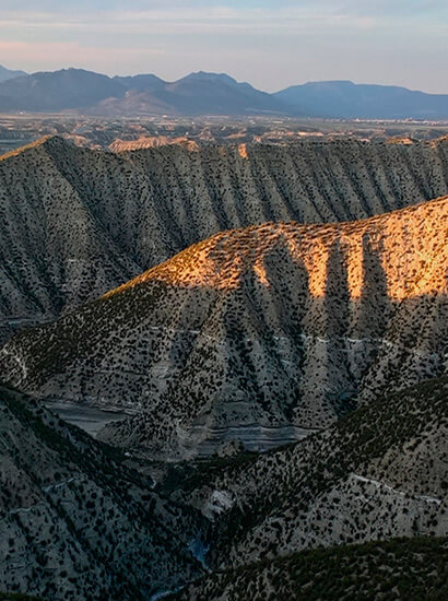
Badlands landscape.

This is the most significant landscape of the North Granada valleys and are typical to this area. They are characterised by a complex and dense network of gullies, producing hills that look as if they have been cut open with a sharp knife. The badlands development is related to climate and lithology (type of rock).

CLIMATE: although badlands are found in areas with different climates, they are frequently in arid and sub arid regions with scarce vegetation. Under these circumstances, there is no permanent soil development, and erosion is favoured.

ROCK: preferential lithologies are sedimentary rocks with low resistance to erosion which, in general, have high contents of clay (lutites and marlstones).

Information

Location info

  • Municipio: Castilléjar y Galera
  • Superficie: 7100 ha
  • Periodo: Quaternary (Actually)
Coordinates: 37.667295, -2.635820
carvavas guardal 1 800x400 - Badlands of Castilléjar and Galera - Geoparque de Granada

En DIPUTACIÓN DE GRANADA utilizamos cookies propias y de terceros que permiten al usuario la navegación a través de una página web (técnicas), para el seguimiento y análisis estadístico del comportamiento de los usuarios (analíticas). Si acepta este aviso consideraremos que acepta su uso. Puede obtener más información, o bien conocer cómo cambiar la configuración, en nuestra Política de cookies.

Privacy Settings saved!
Configuración de Privacidad

These cookies are necessary for the website to function and cannot be switched off in our systems.

In order to use this website we use the following technically required cookies
  • pll_language
  • wordpress_gdpr_allowed_services
  • wordpress_gdpr_cookies_allowed
  • wordpress_gdpr_cookies_declined

Decline all Services
Accept all Services
Configuración de privacidad
Abrir chat